Description
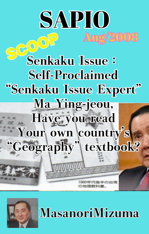
Journalist Masanori Mizuma examines Taiwanese geography textbooks and atlases from 1954 to 1997, showing how the Senkaku Islands were drawn before and after the late-1960s reports of oil and gas reserves. First published in SAPIO magazine, August 2008. Includes the map and textbook figures. English edition, PDF.
SAPIO 2008年8月号「自称『尖閣問題の専門家』馬英九よ、自国の『地理』教科書を読め」の英語版。台湾の教科書・地図帳から尖閣諸島の表記の変化を検証。著:水間政憲。PDF。
Reviews
There are no reviews yet.